Yukon
The Route
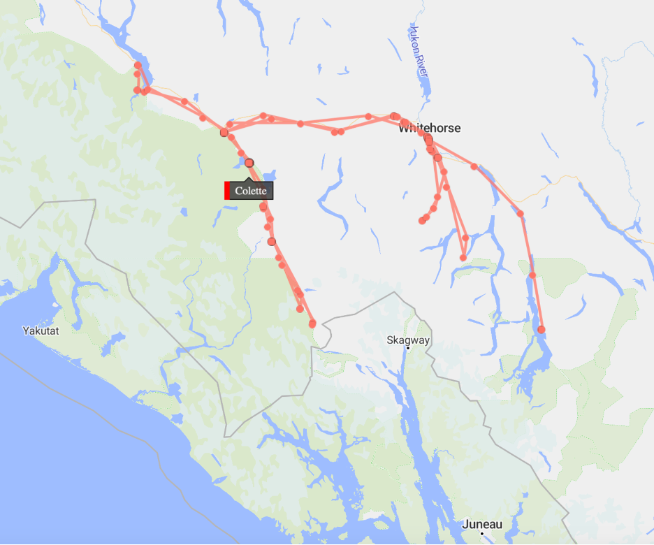
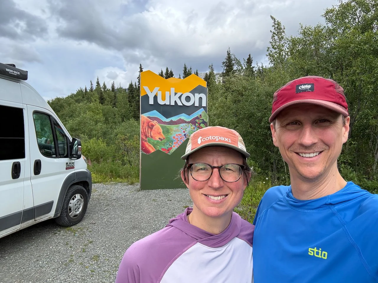
We left Atlin, BC on July 17 and crossed into Yukon Territory. Our original plan was to spend time hiking around Carcross, Whitehorse and Kluane National Park then drive further north to Dawson City and Tombstone Territorial Park. However, we heard lots of horror stories from people we met on the trip about tire-eating potholes and flight-inducing bumps on the highway between Carmacks and Dawson City so we decided it was best to cut that portion. We also noticed an unusually high number of ads for car mechanics and tire/suspension specialists in the Dawson City section of the travel guide, which seemed like a bad sign too.
The shortened itinerary gave us more time to explore southwest Yukon. We started in the area around Carcross for a few days, before taking 2 town days in Whitehorse, the Yukon’s capital. With a population of roughly 37,000, Whitehorse holds ¾ of the territory’s population meaning most of the Yukon’s 186,000 square miles is barely populated. Whitehorse was the best town we visited since Golden, BC with a walkable downtown of local shops and restaurants, including a high-end organic grocery store with amazing soft-serve ice cream that we hit multiple times as we passed through Whitehorse.
From Whitehorse we moved further northwest to Kluane National Park, which includes the Canadian portion of the St Elias Mountains. Kluane is part of a 4 park conglomerate, including Wrangell St Elias & Glacier Bay National Parks in Alaska plus British Columbia’s Tatshenshini Alsek Provincial Park. Together the 4 parks make a massive, continuous 24 million acre wilderness complex that includes the world’s largest non-polar ice cap. Not surprisingly, Kluane Park is on Kluane First Nations land, while other hikes in this part of the trip covered areas of Champagne, Aishihik, and Carcross Tagish First Nations.
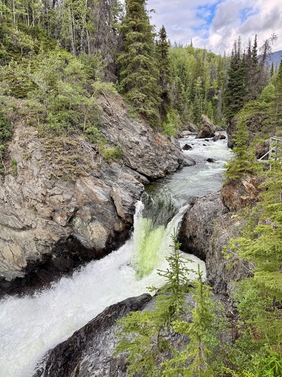
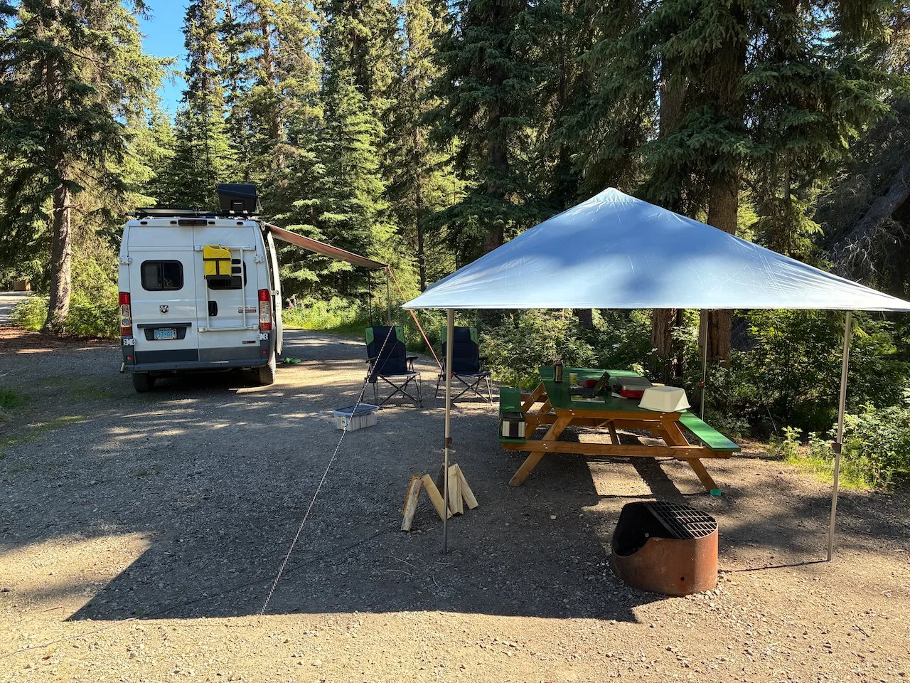
We did two different segments in Kluane – first 3 days backpacking then returning a week later for more front-country camping and day-hiking. Between the Kluane segments we took a break in an Airbnb in the Ibex Valley, near Whitehorse, and camped at Million Dollar Falls while exploring the Haines Pass region.
The Hikes / Etc.
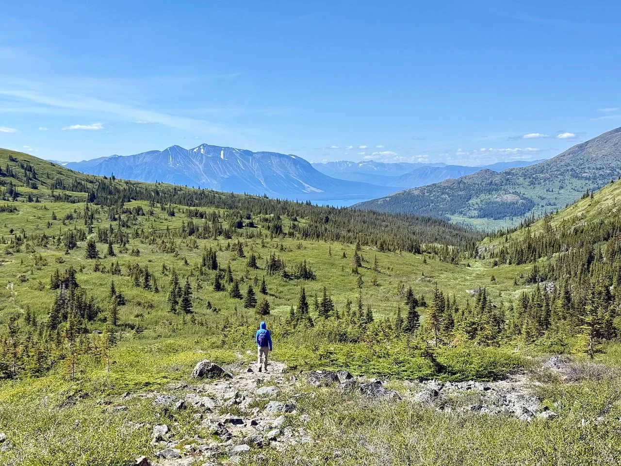
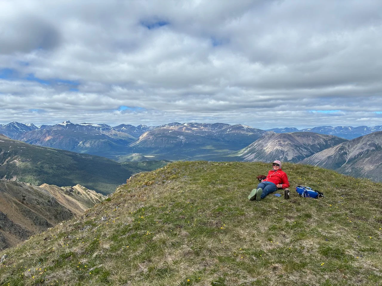
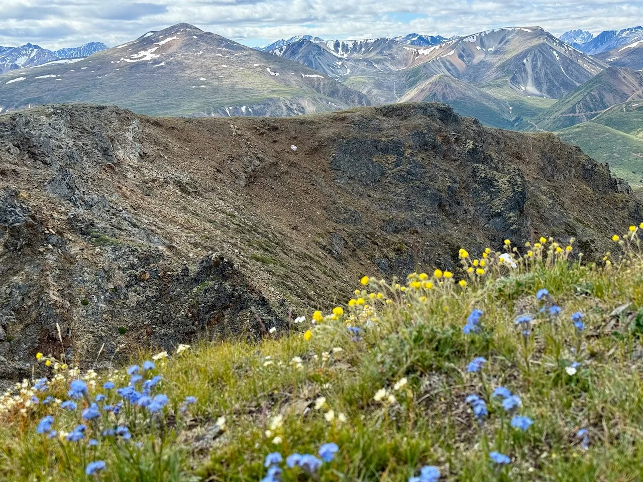
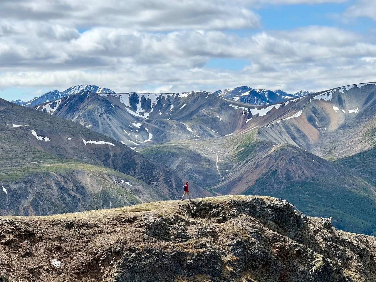
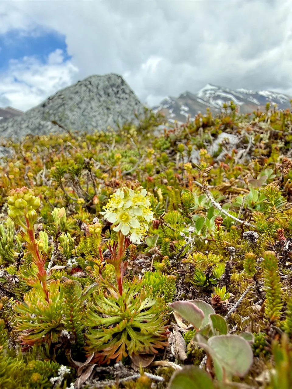
Mt Anderson: Our first hike near Carcross started by following an ATV road for several miles. The ATV track was uninspiring but common on many Yukon hikes. Once we got above the treeline we were rewarded with spectacular mountain views across open fields of alpine flowers.
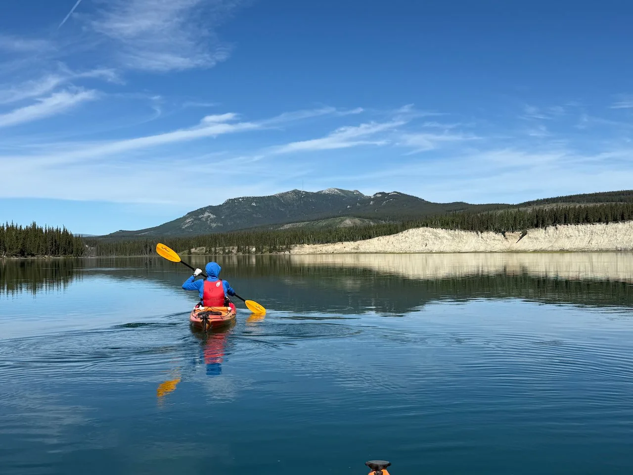
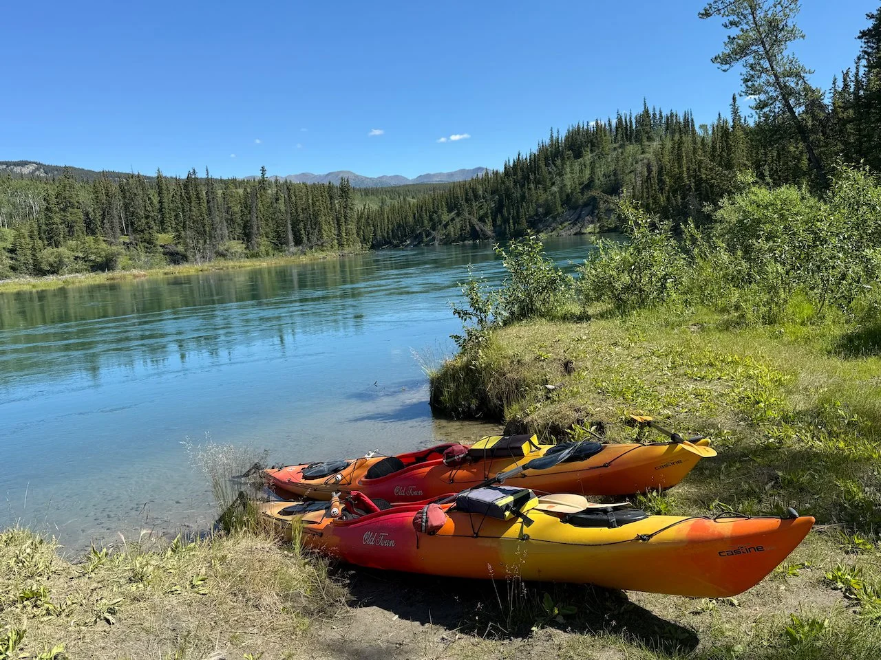
Yukon River Kayaking: For something a little different, we spent a day kayaking a 20 mile stretch of the Yukon river from Marsh Lake to Schwatka Lake near Whitehorse. When we reserved the kayaks by phone the clerk asked if we were comfortable handling the whirlpool in Miles Canyon. Whirlpool? We shrugged and hoped it couldn’t be too bad. The shuttle driver to Marsh Lake said we’d be fine as long as we could “read the river” and we’d hear it before we saw it. None of this was particularly comforting given we don’t really do river activities, but we figured they wouldn’t just rent us kayaks and send us off to our deaths. Ultimately, the Miles Canyon section was very fast moving and challenging, with currents bouncing off the narrow canyon walls in all directions, but we survived unscathed.
Otherwise the rest of the day was calm water and a relaxing paddle. We were alone for the first 10 peaceful miles of the river. It wasn’t until we neared Whitehorse we were joined by motor boats and paddle boarders.
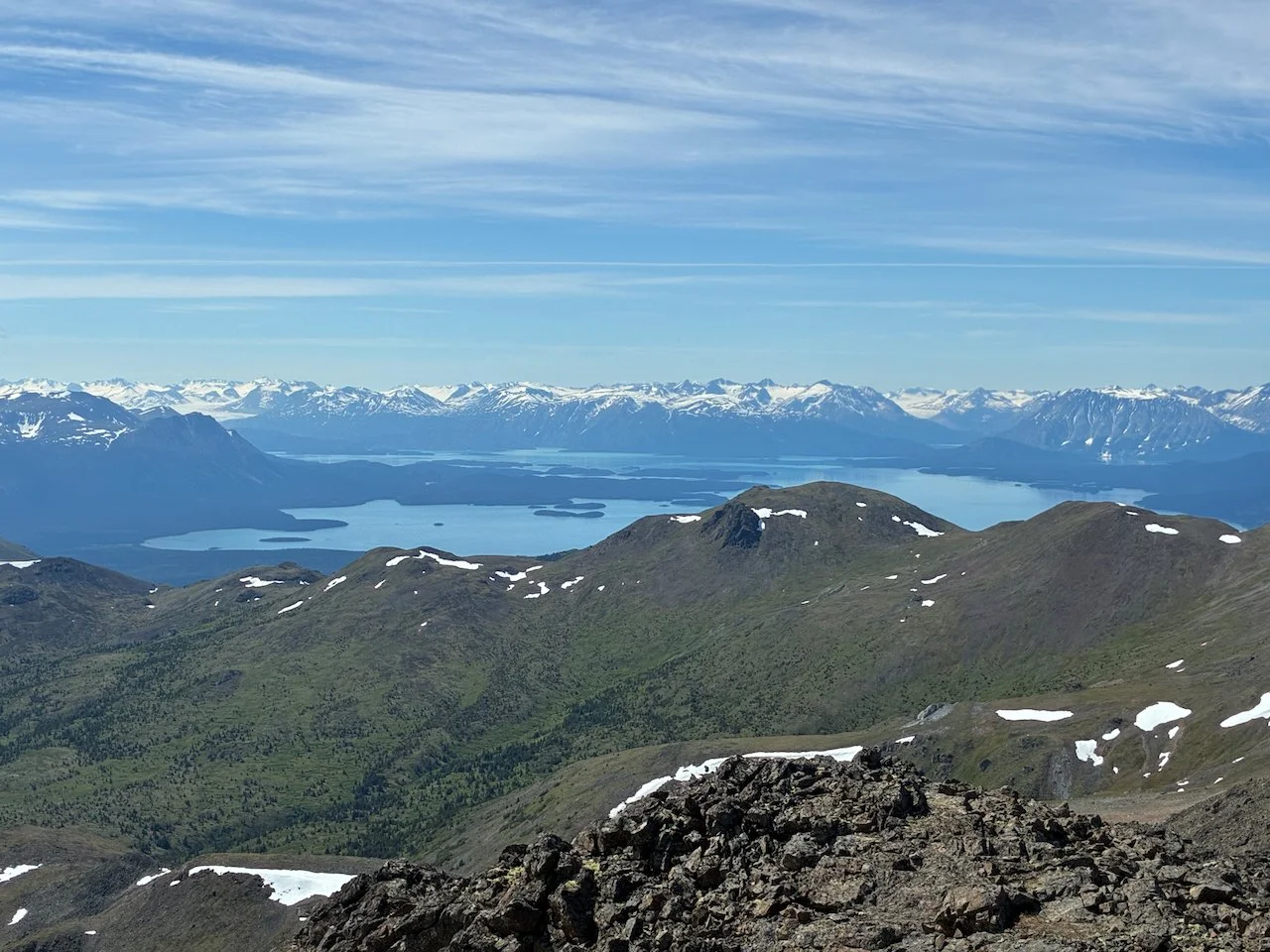
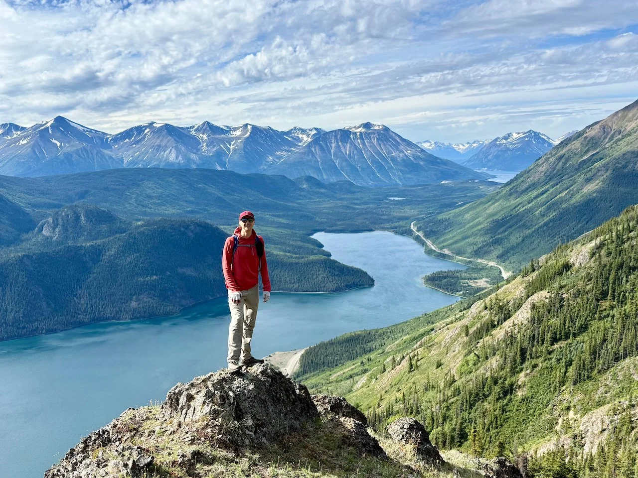
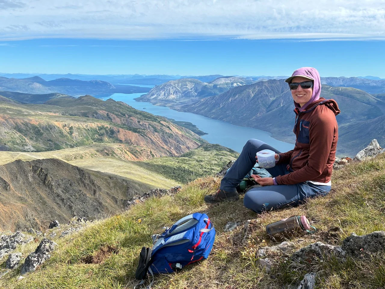
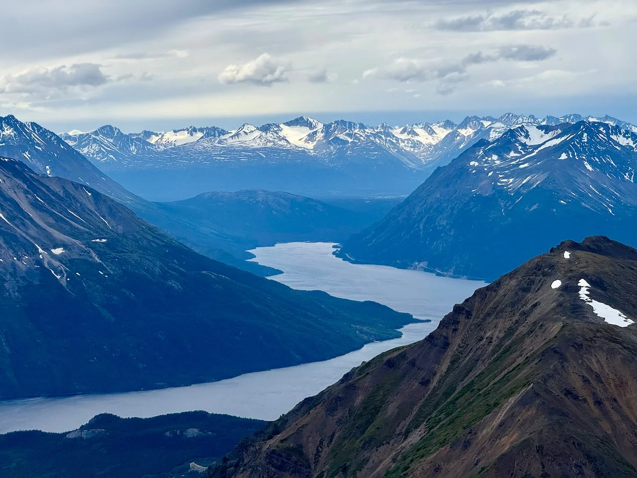
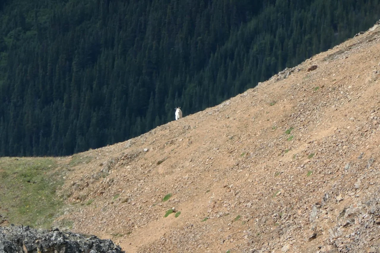
Dail Peak: This hike wasn’t on our initial list but Andrea suggested it after we decided to drop Tombstone from the itinerary. It turned out to be one of our favorites of the whole trip. The first half follows a rough, thigh-burning trail steeply uphill above Windy Arm on Tagish Lake. It mellows out when it merges with an ATV trail across a plateau northeast of the peak, before steepening into an off-trail route along the northeast ridge. The views of mountains sprouting straight out of Tagish and Tutshi Lakes were incredible. Plus we saw 5 different groups of mountain goats just below the summit.
Congdon Creek: We spent a few nights at the Congdon Campground in Kluane National Park and used a mellow rest day to walk from camp across the highway to follow Congdon Creek for a few miles.
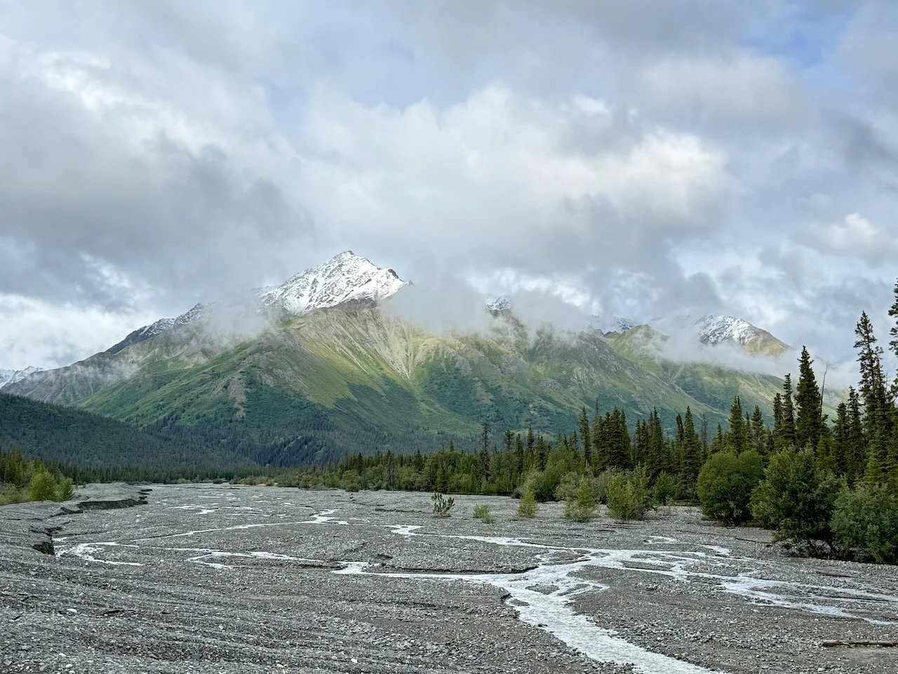
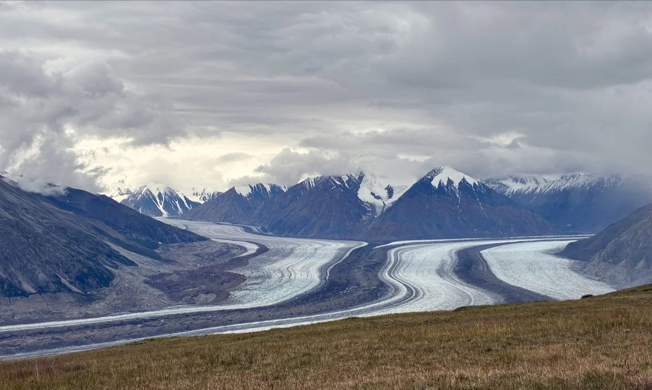
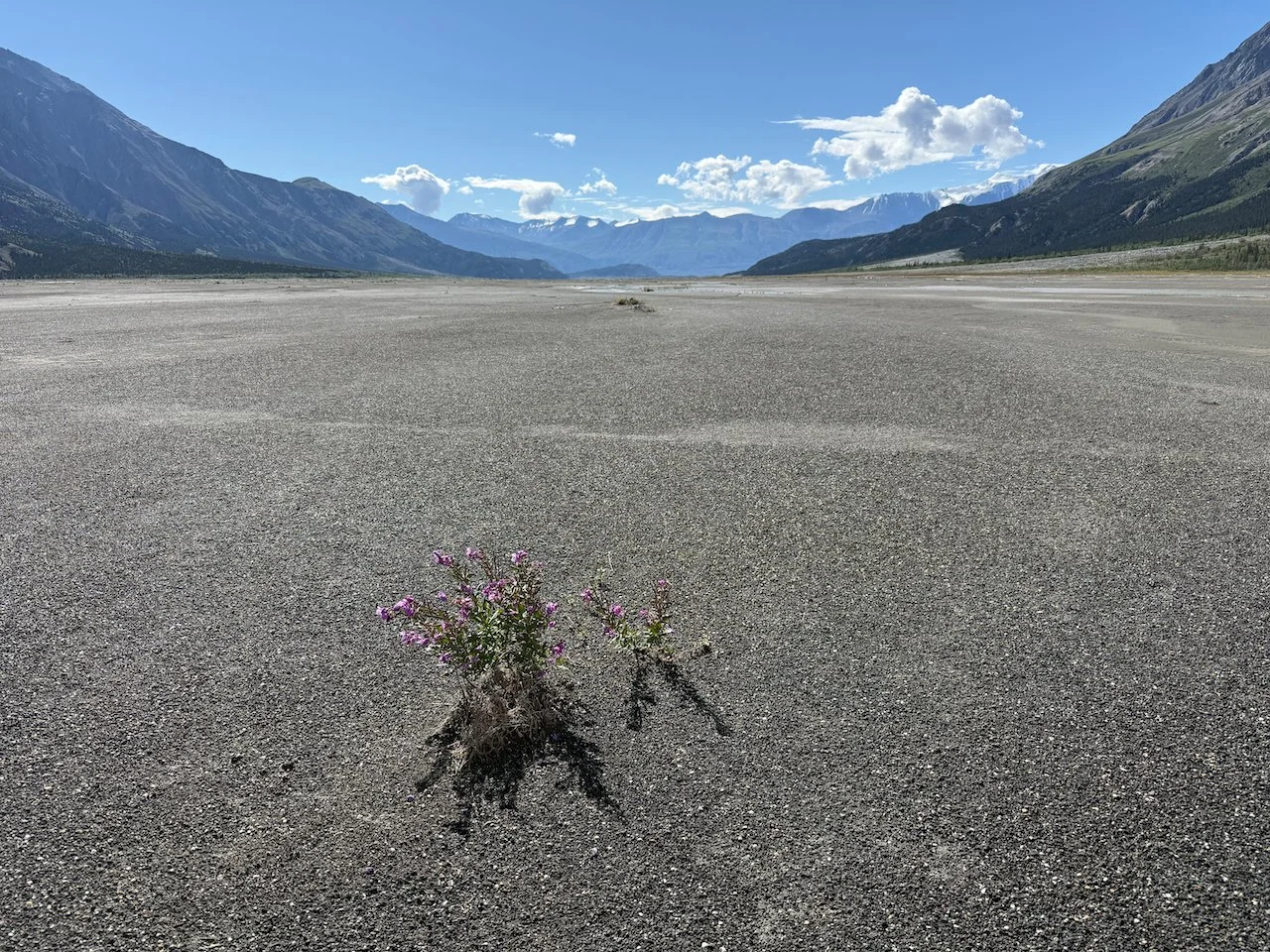
Slim’s River / Aay Chu: This backpacking route and its views of the Kaskawulsh Glacier were the inspiration for visiting southwest Yukon on this trip. It follows Slims River, or Aay Chu as the Kluane First Nations call it, for 14 miles to a designated backcountry camping spot. These days the river is more a series of marshes, mud bogs and sandy beaches than a full river. The Kaskawulsh Glacier receded back past the opening to the Slims River valley in 2016 and now most of the glacier’s meltwater flows into a different river, leaving Slims a tiny fraction of what it once was. This made camping complicated as there wasn’t any good water nearby. We pulled silty water from a sliver of stream flowing about a half mile from camp for drinking and cooking.
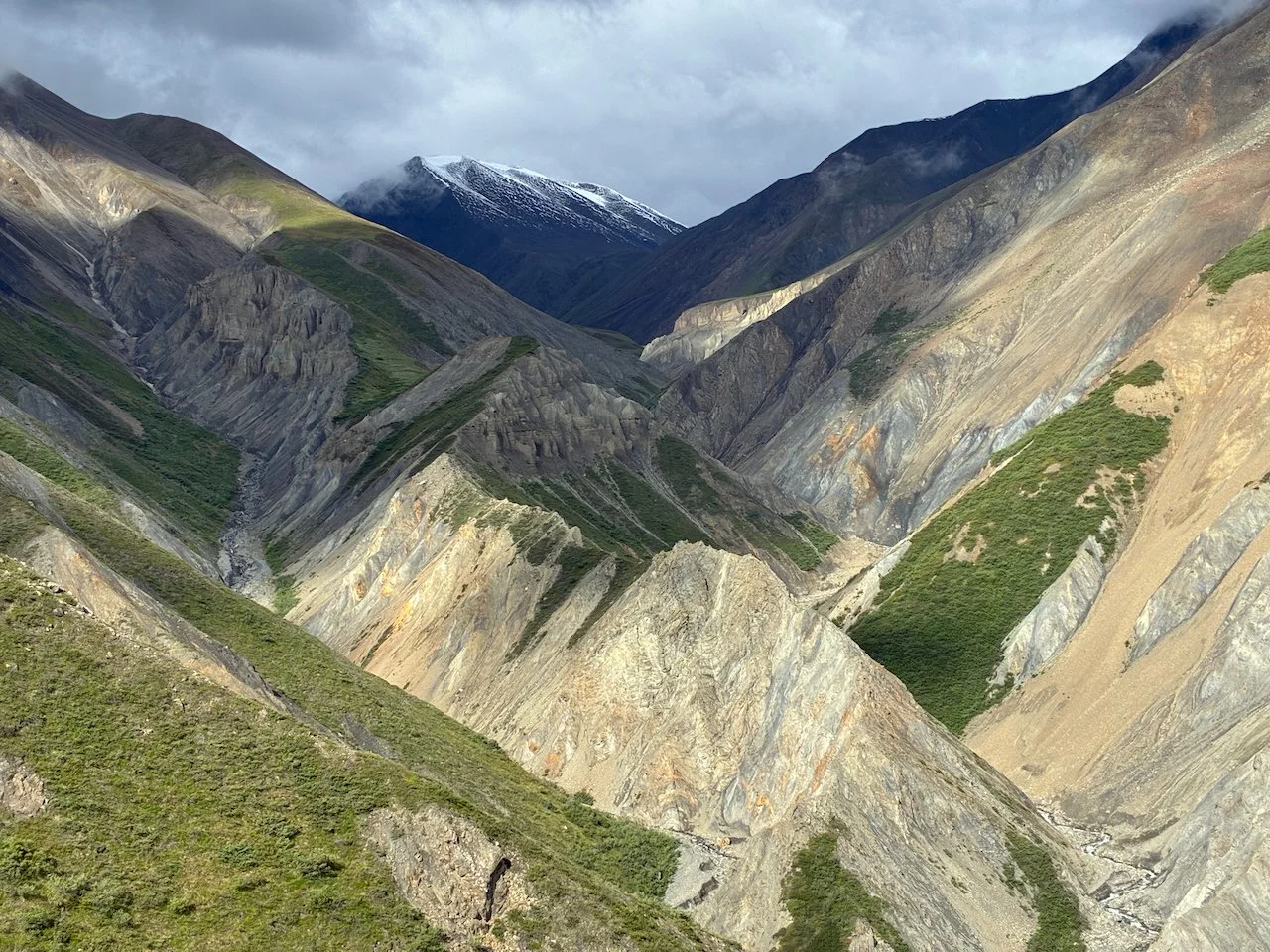
From the backcountry campsite, a steep hike up Observation Mountain to a wide shoulder on its west side leads to stunning views of the Kaskawulsh Glacier. Reaching Observation Mountain included a challenging crossing of Canada Creek, which was running fast and took us about 30 minutes to find a workable crossing. Northwest of Observation Mountain, Columbia Creek drops thousands of feet from out-of-sight, alpine snowfields carving a beautiful steep-sided valley between rocky, multi-colored peaks.
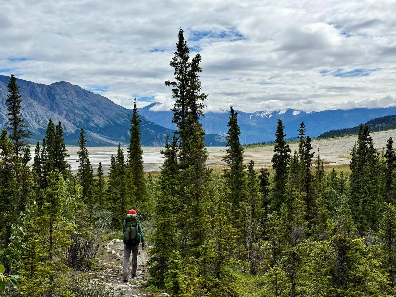
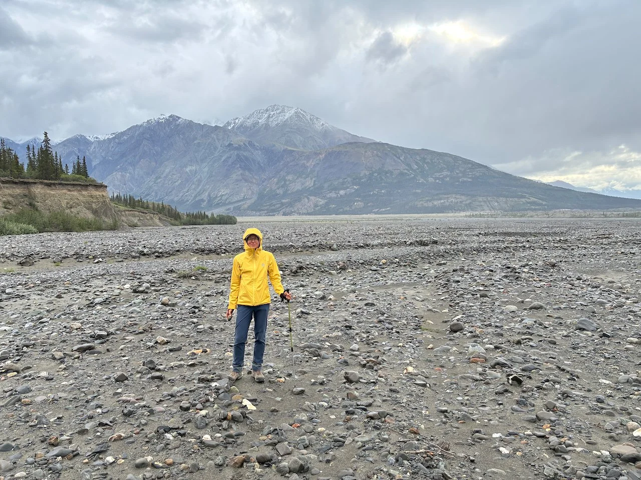
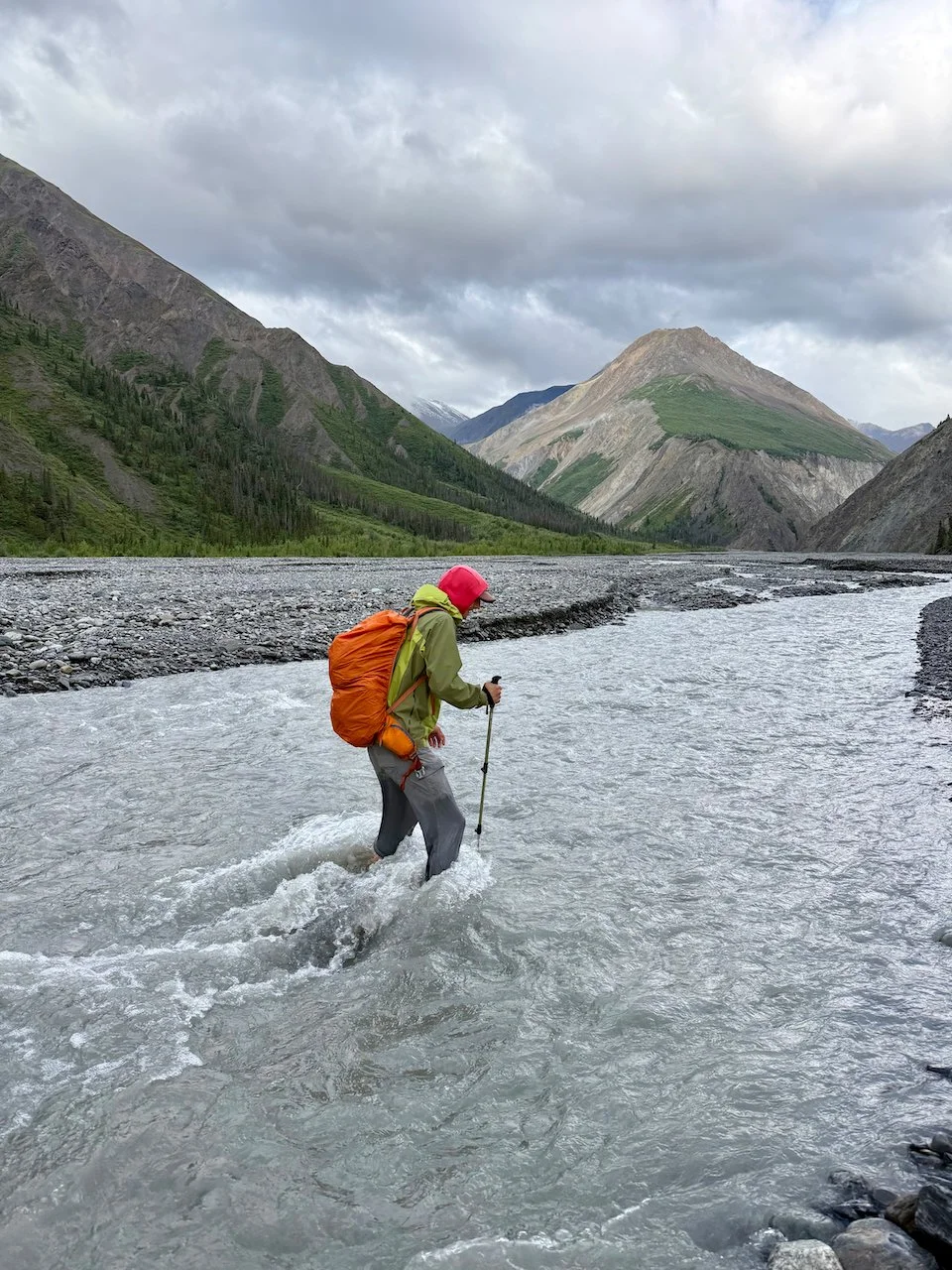
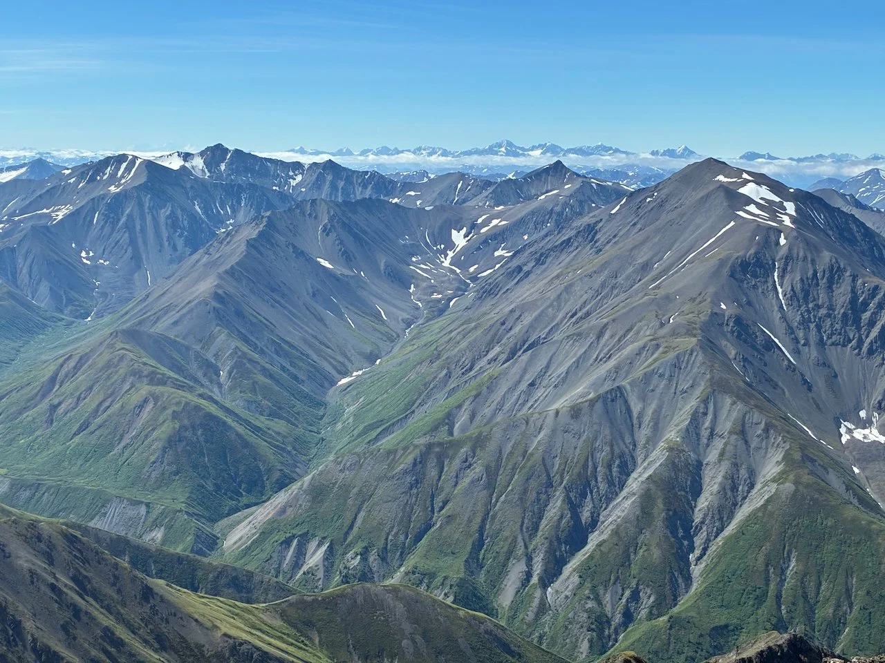
Three Guardsmen: Like many other hikes in this area, the trail begins on an ATV track near Haines Pass, about halfway between Haines Junction, YT and Haines, AK. After 2 miles the route leaves the track and heads off trail straight up the west side of Three Guardsmen. The top of the climb isn’t really a summit, it is more of a local high point along a ridgeline that leads to Glave peak, which could be reached with a much more technical scramble route through steep, loose rock. We were happy to stop at Three Guardsmen and enjoy the great views of surrounding peaks in southeast Alaska, northern BC and southern Yukon. We could see bits of the Samuel Glacier to the northwest, where we’d be hiking next.
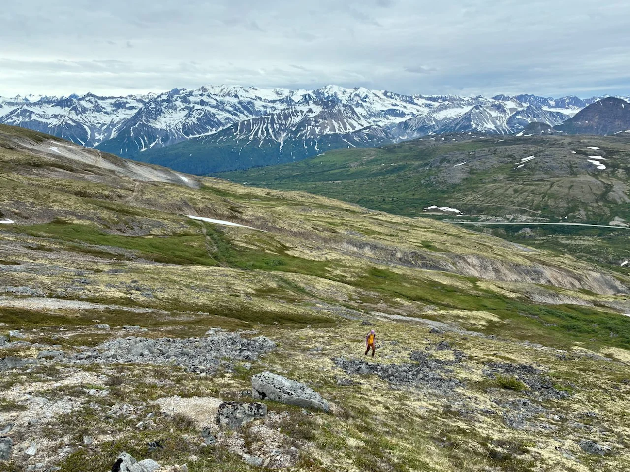
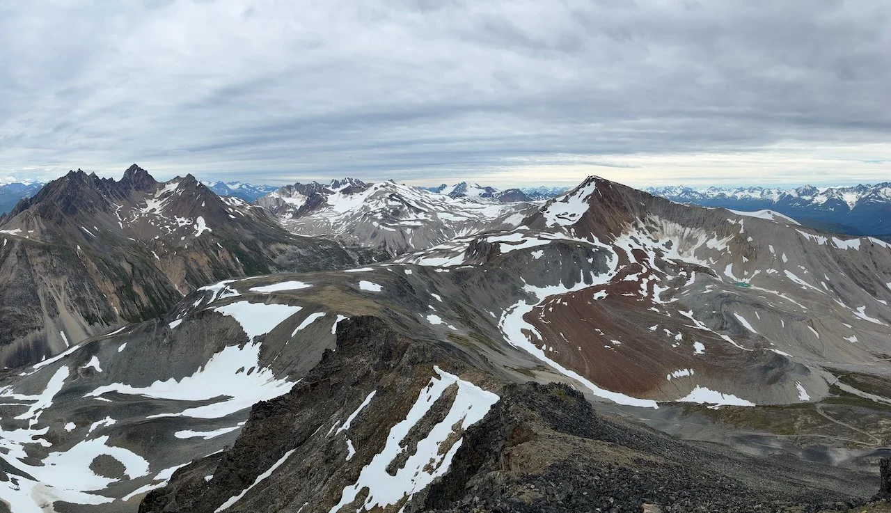
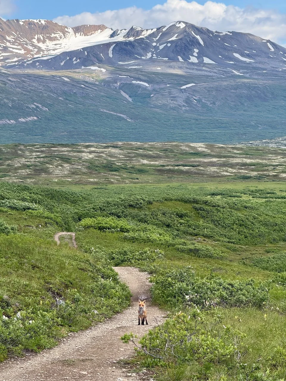
Samuel Glacier: This was another hike not in our original plan that became a highlight. It is the only maintained trail in all of Tatshenshini Alsek Provincial Park’s 2.4 million acres. The park, which is co-managed by the British Columbia provincial government and the Champagne and Aishihik First Nations, was established in 1993 and is mainly focused on protecting the Tatshenshini and Alsek rivers. The trail leaves from the Haines Highway and travels through open sub-alpine meadows before reaching a stunning Samuel Glacier viewpoint. In 1999 remains of the “Canadian Ice Man” or “Kwäday Dän Tsʼìnchi” were found on the edge of the glacier and identified as a member of the Champagne and Aishihik First Nations from 300 to 550 years ago.
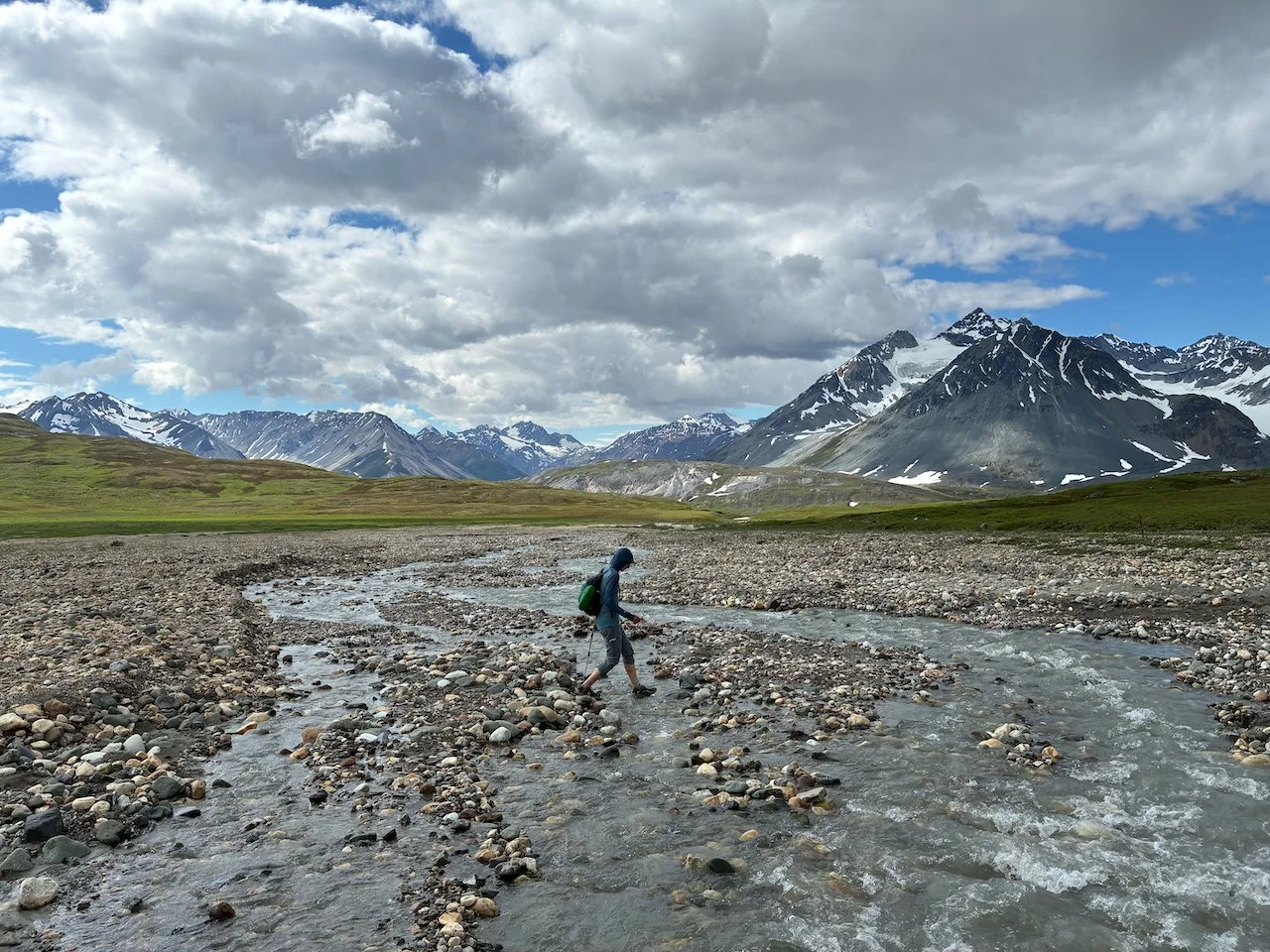
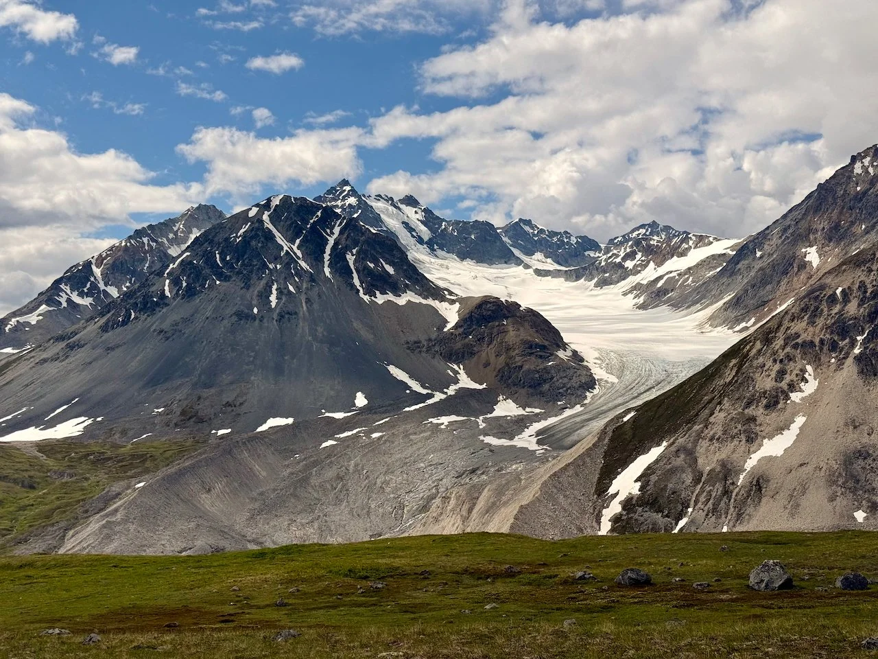
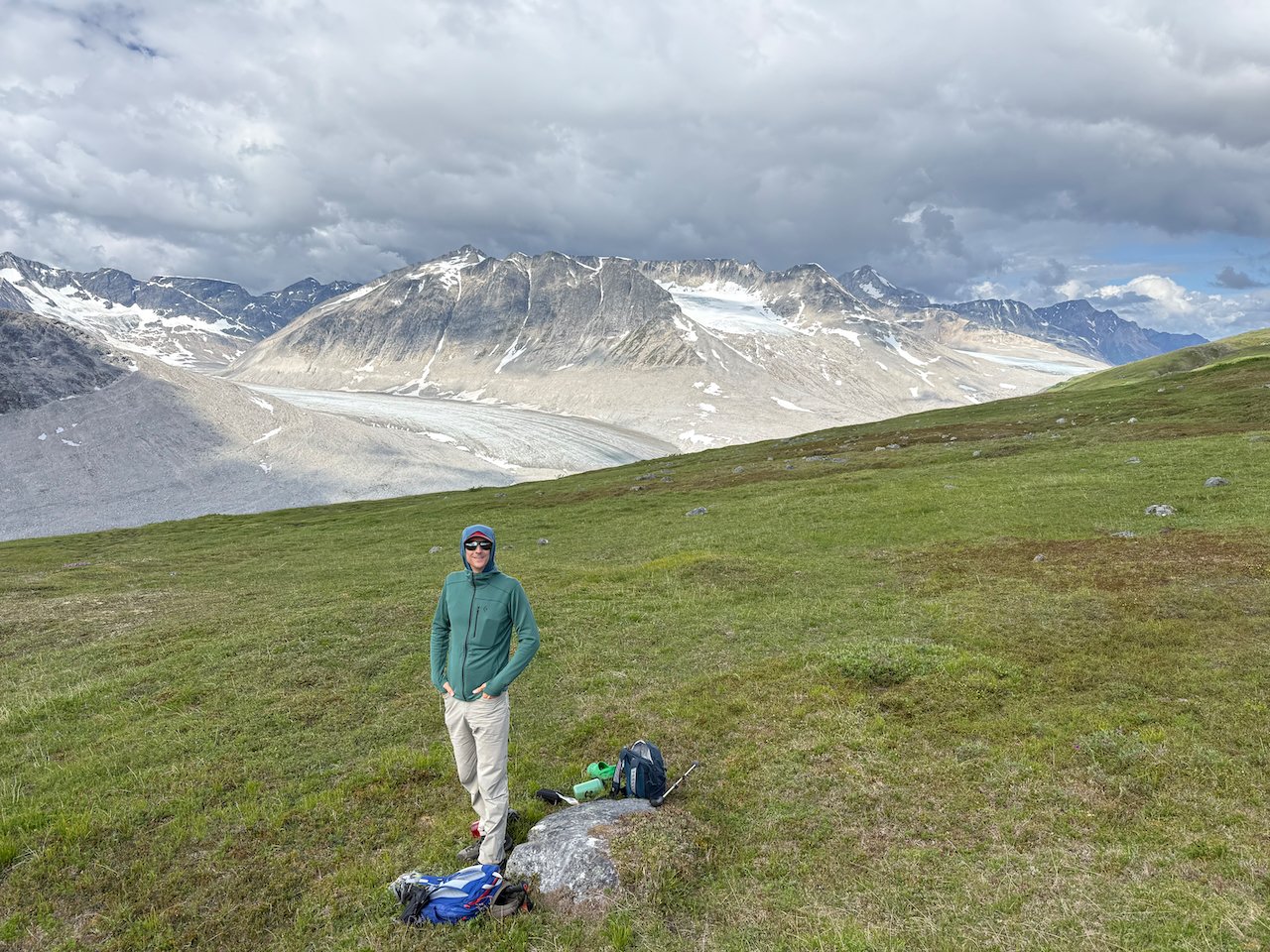
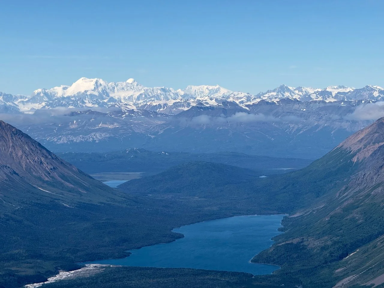
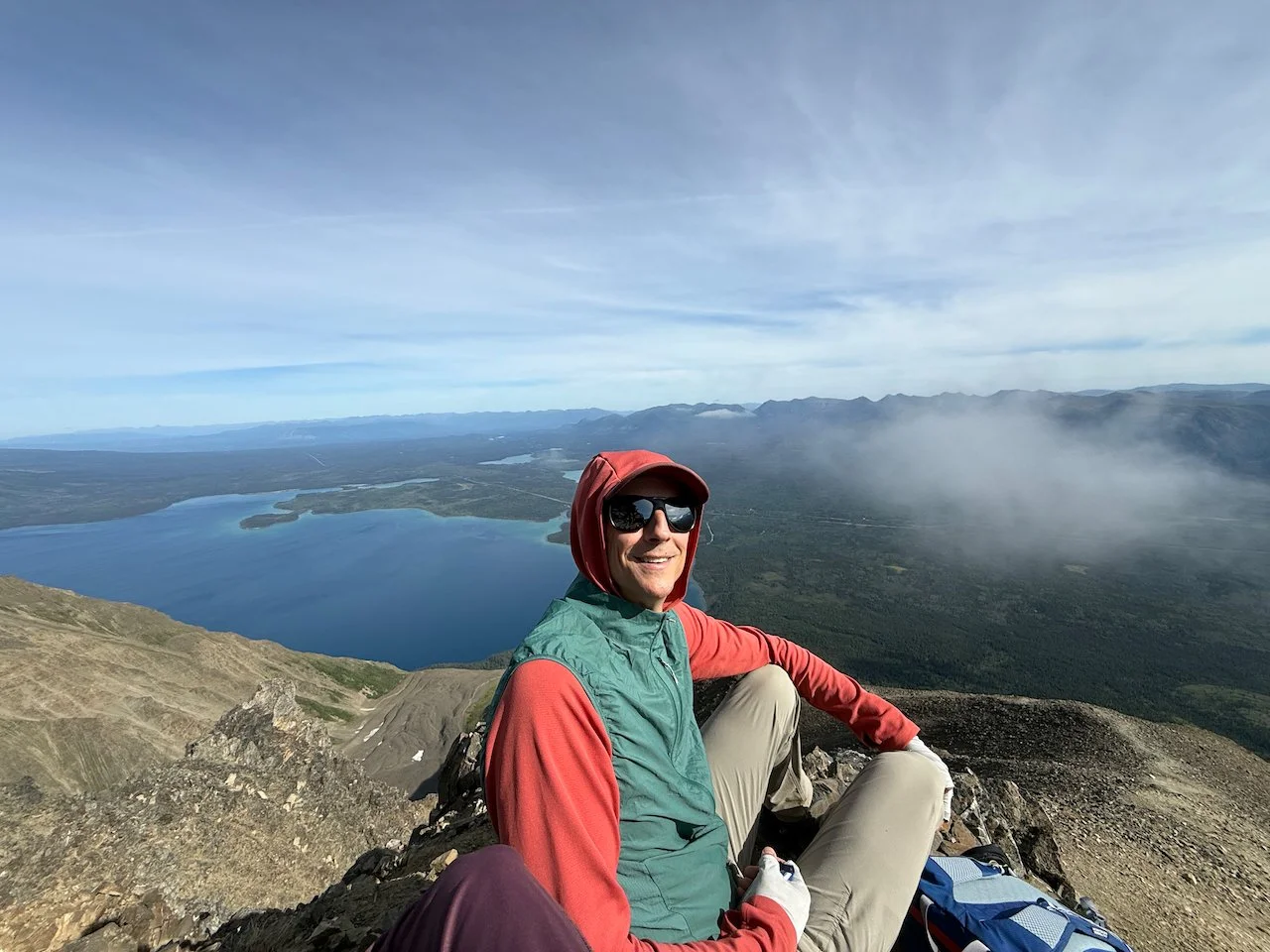
King’s Throne / Dalton NW7: After Slim’s River, Kings Throne is the most well known hike in Kluane National Park. It rises 4,500 feet above Kathleen Lake on a steep trail full of loose rock. I’m shocked it is so popular given the difficulty. The King’s Throne trail also provides easy access to a scramble route to its taller, unnamed neighbor informally known as Dalton NW7. Breaking off from the King’s Throne summit ridge to climb up the jagged north ridge of Dalton NW7 provided some much needed solitude in such a popular area. Oh and great mountain views too, of course.
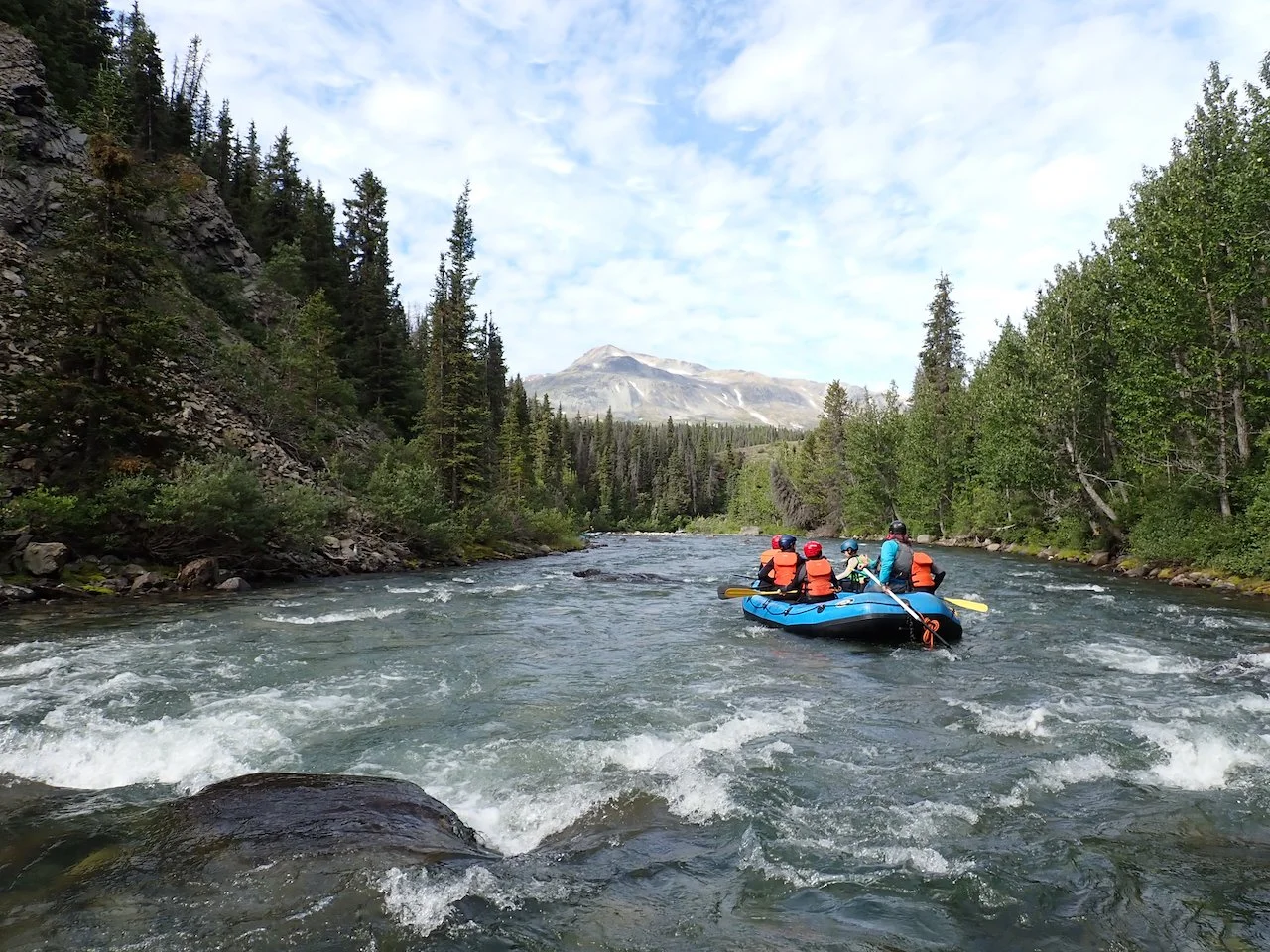
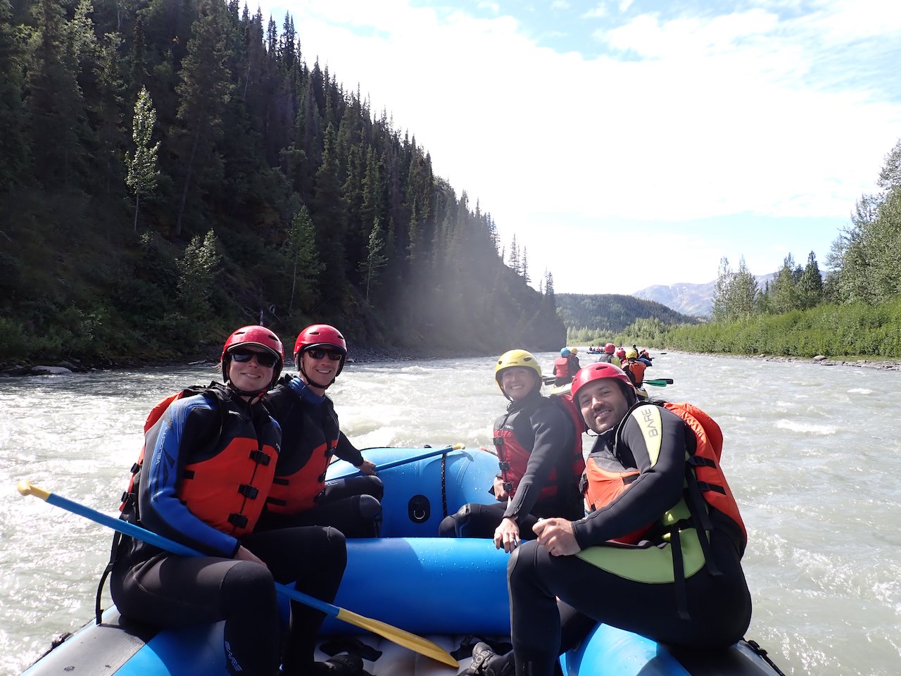
Tatshenshini River Rafting: While hiking to the Samuel Glacier we chatted with a group of pack-rafters on their way to the Parton and Tatshenshini rivers. They mentioned a guide company nearby running Tatshenshini rafting trips. That sounded like a great break from hiking and a chance for some different views of the area so we signed up for a group day drip. We started on the Blanchard River just south of the Yukon border in BC, then merged with the Tatshenshini and followed it until Dalton Post for a total of roughly 15 miles on the water. Our raft included a guide from Czech Republic, a transportation engineer, and a 3-time Canadian Olympian volley ball player recently turned police officer, whose career history generated much more conversation than the rest of ours.
British Columbia
The Route
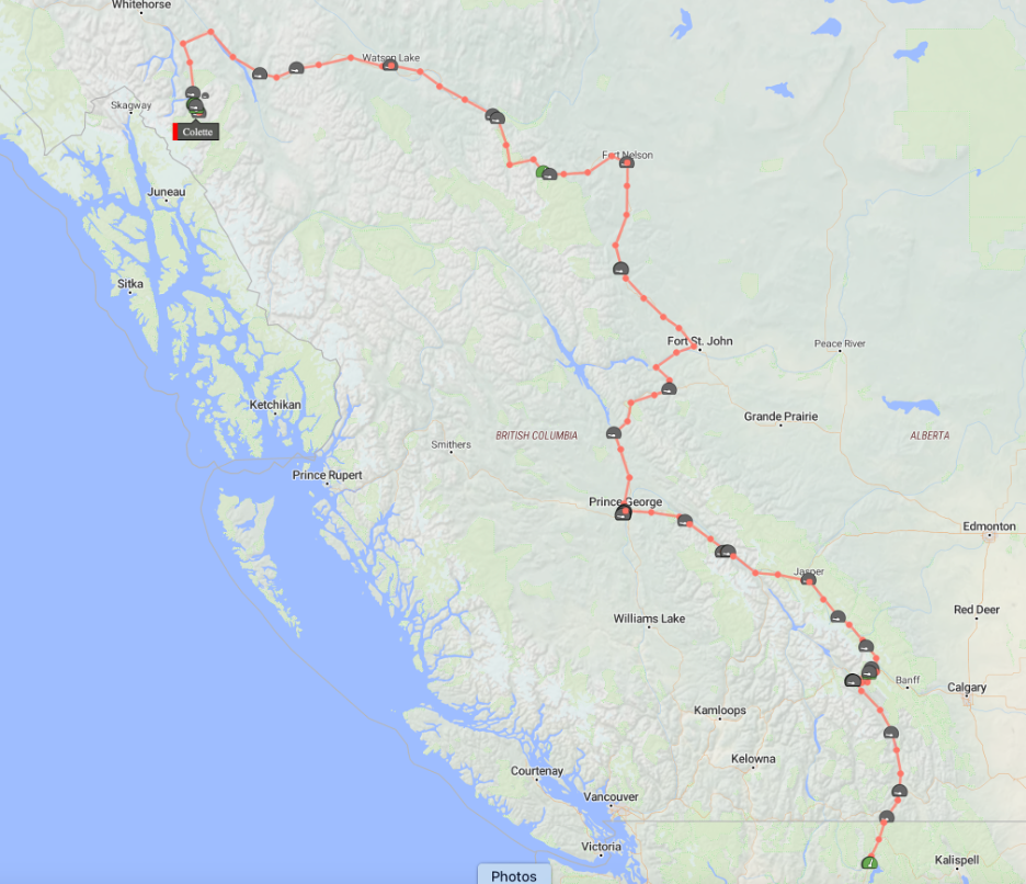
We left northern Idaho and crossed into British Columbia on July 4th, following BC 95 through Cranbrook to Golden, where we stayed a few days to hike in nearby Yoho National Park. Golden is a great small town with just enough restaurants and shops to provide everything you need without being overrun by tourists like its neighbor to the east, Banff.
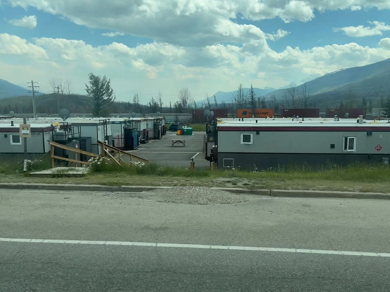
From Golden we drove through Yoho National Park to connect with the Icefields Parkway / BC 93 up to Jasper. The drive to Jasper and our short stopover there were unsettling as the forests around town and roughly 1/3 of the town’s buildings burned in wildfires in 2024. Back when we visited Jasper in 2019, we had marveled at the massive 200 yard wide fire break they’d mowed down in the forest around town, but it wasn’t enough to avoid destruction in 2024. Now rows and rows of FEMA-style trailers sit across the train tracks from downtown as temporary housing. Luckily, enough of town survived to continue serving visitors like us but it was a lot quieter than our prior visit.
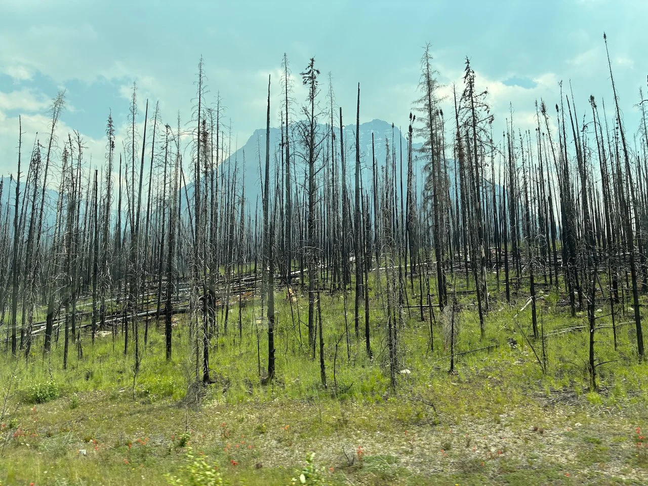
From Jasper we headed east on Route 16, where we crossed into territory we’ve never visited before. After spending a night near McBride, we continued on to Prince George. Two town days for errands (groceries, laundry, etc.) in Prince George were more than enough. The city’s economy is dominated by large industrial businesses including several petroleum refineries and a large paper mill on the banks of the Fraser River that greets you on the way into town.
We left Prince George and headed north on BC 97, which becomes the Alaska Highway after passing through Dawson Creek, BC. Although mostly in Canda, the Alaska Highway was built by the US Army during World War II to provide a land route linking the lower 48 states with Alaska. It runs nearly 1,400 miles from Dawson Creek, BC through Whitehorse in Yukon Territory to Delta Junction, AK.
In central/northern BC route 97, lined with trees on both sides for hundreds of miles, feels like it runs through vast empty wilderness. However, every few miles large dirt roads perpendicularly meet the highway at intersections littered with signs providing instructions for truckers, radio frequencies and location names. Turns out, behind a relatively thin veil of trees, this area is covered with natural gas extraction and processing sites. (Seriously, checkout this gas and oilfield map of northeastern BC.)
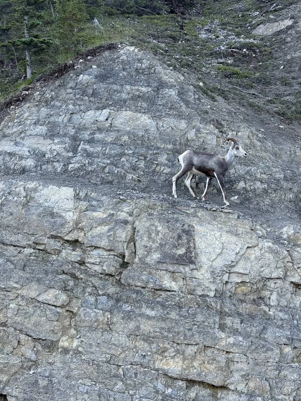
Route 97 runs straight through Stone Mountain Provincial Park, where we spent several days hiking. The area is known for, well, stone mountains (of course) and stone sheep – similar to big horn sheep but a bit smaller. We saw a group of 7 sheep while hiking and several close up right by the road as we drove north through Muncho Lake Provincial Park.
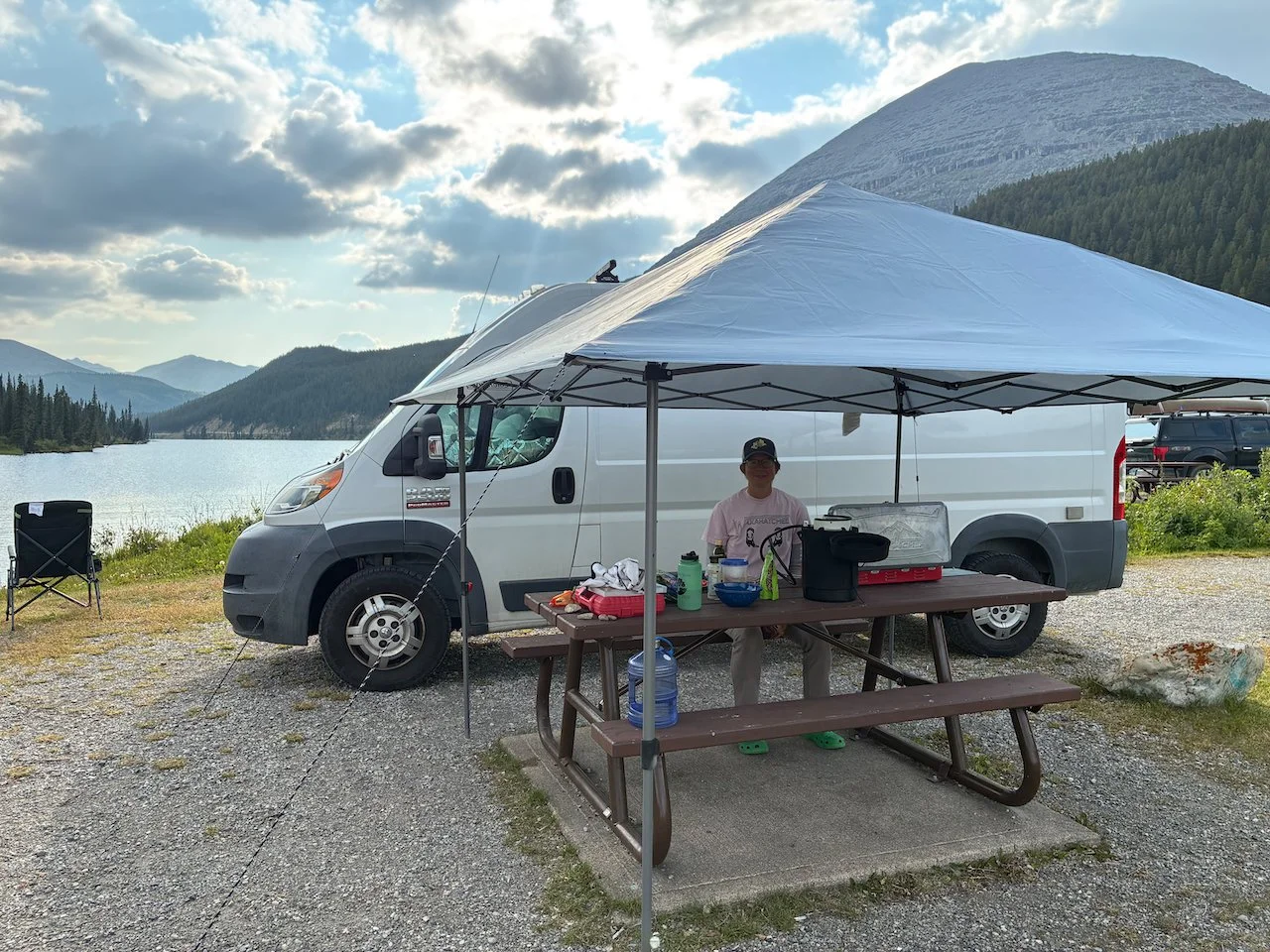
After crossing briefly into the Yukon Territory we detoured off the Alaska Highway back south to the town of Atlin for our final stop in BC. Until a few days prior, we’d never even heard of Atlin but Andrea read about it in one of those free tourist guidebooks they hand out in hotels and visitors centers It had a few impressive looking hikes in our guide book too. There isn’t much to the town itself, but it turned out to be one of our favorite hiking spots.
The Hikes
Yoho National Park – Emerald Triangle: As the name suggests, this route makes a triangle starting/ending at Emerald lake. The trail ascends steeply from the lake to Burgess Pass then crosses beneath Mt Field and Wapta Mountain, with amazing views back down to Emerald Lake and the mountain range above it, including CarMar Peak, The President, and Angel Peak. This was one of our favorites for the whole trip.
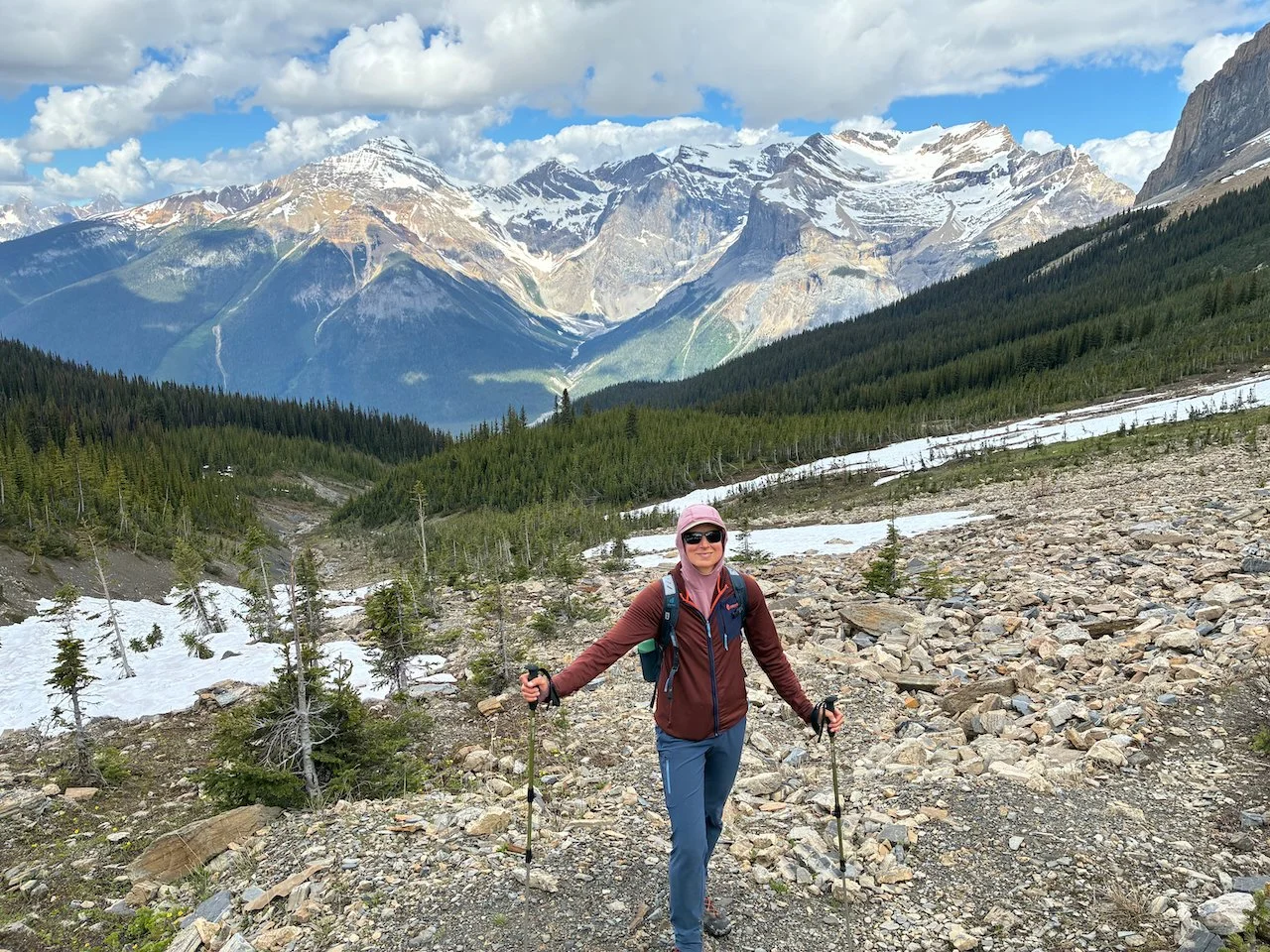
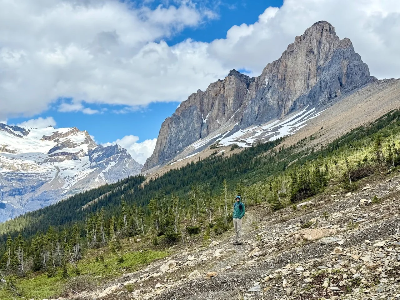

Yoho National Park – Mount Niles: This begins as a hike along the Sherbrooke Lake trail then transitions to an off-trail route to the col west of Mt Niles and finishes with a bit of scrambling up the ridge to the summit. Later in the summer the scramble would be pretty mellow but there was still a lot of snow in early July so it was a bit tricker. The view of the Canadian Rockies and the Waputik icefield were excellent.
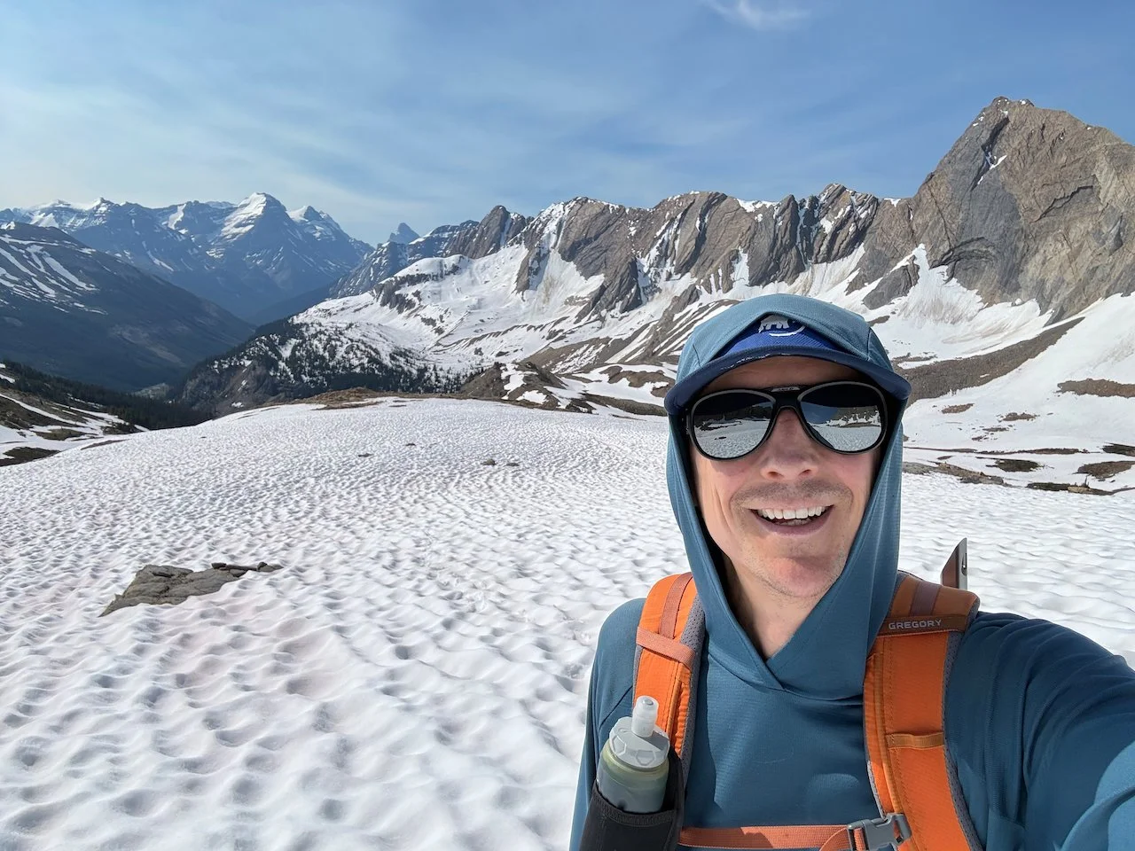
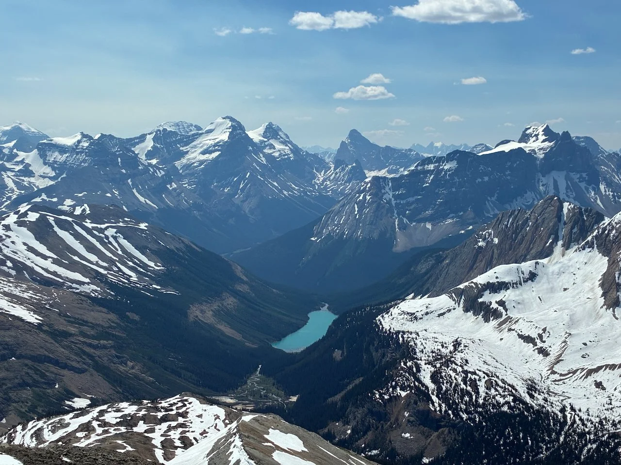
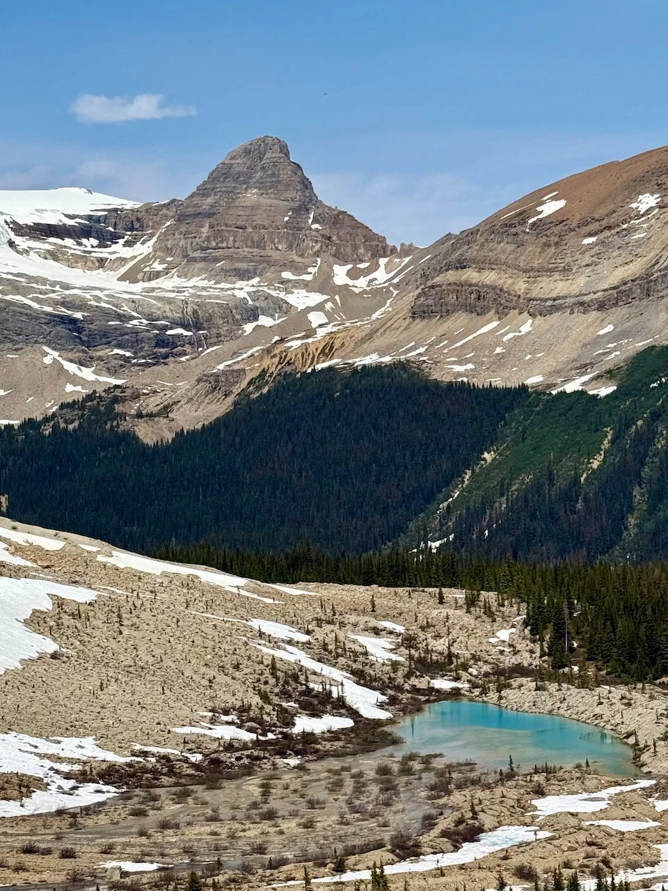
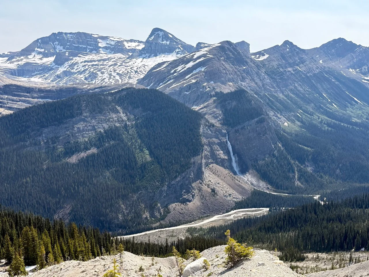
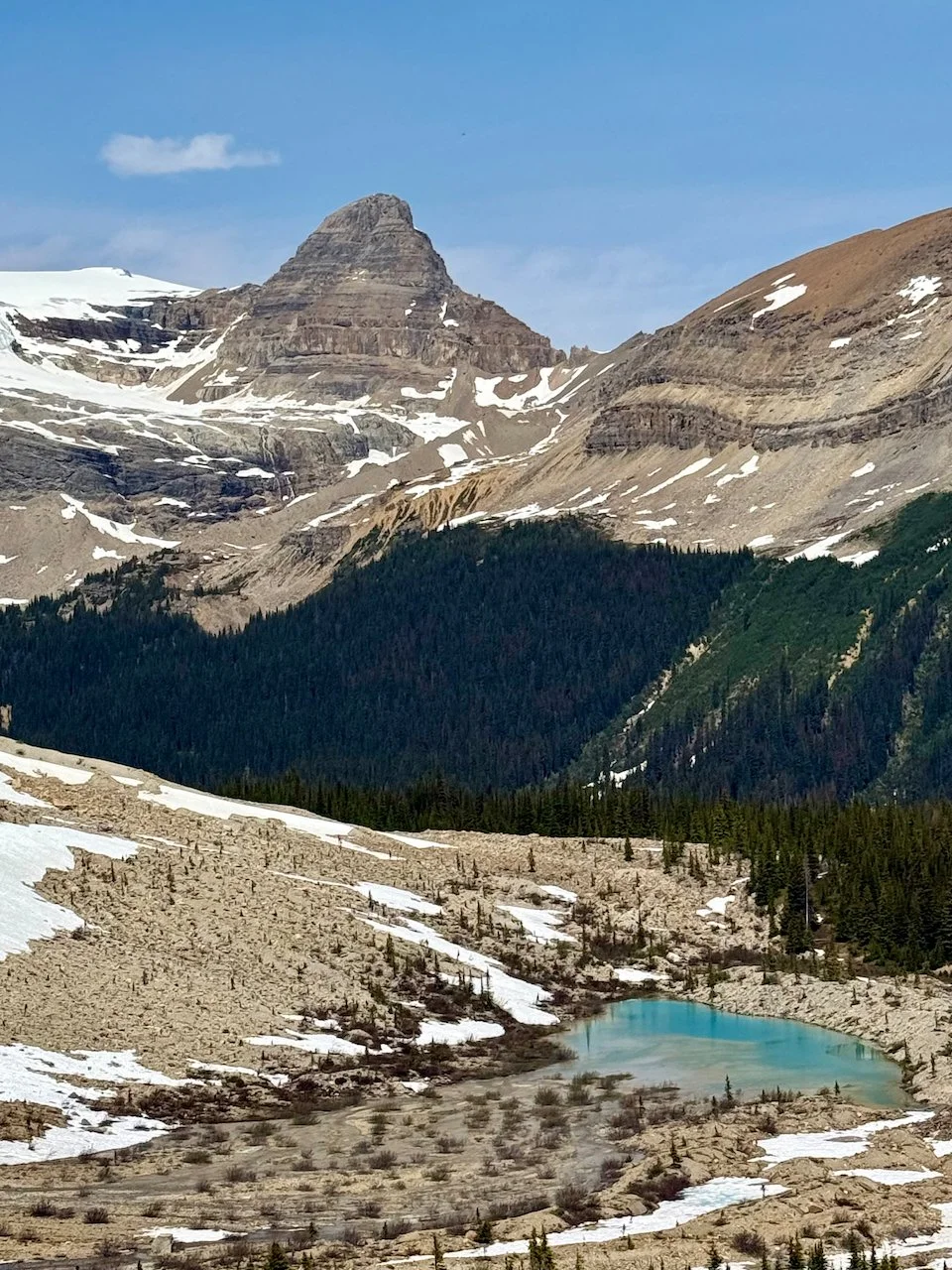
Yoho National Park – Iceline: While Brian hiked up Mount Niles, Andrea headed for the Iceline trail, one of the park’s more challenging but popular trails for viewing mountains and waterfalls.
McBride – Dore River Rd: We intended to take a hiking trail that started a few miles down Dore River Road, but were concerned about the road conditions so we just hiked the road for a few miles. We’d hoped to spot some wildlife but did not. It was a pretty walk through the forest along the river, though.
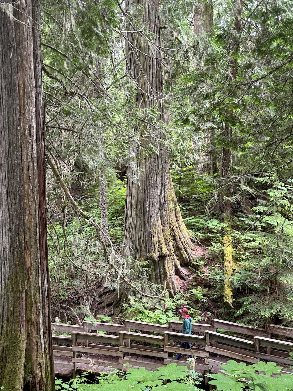
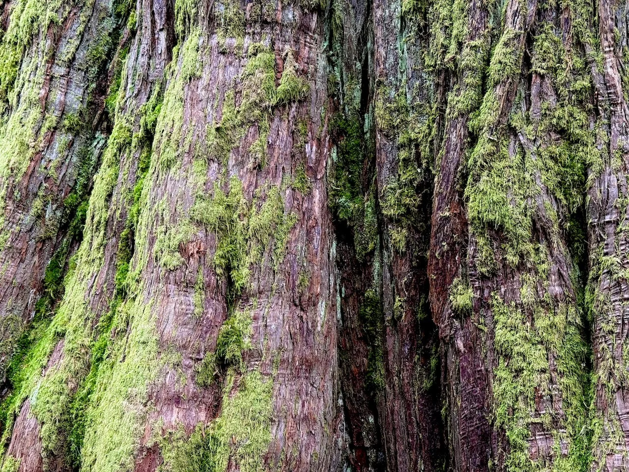
Chun T'oh Whudujut Provincial Park – Ancient Forest: This park protects a small grove of 1,000 year old western redcedar trees. It was established after a graduate student, Dave Radies, realized the age of the trees while studying lichen in the area in the 2000s and sought to stop commercial logging that was already planned for the forest. It became an official park in 2016 and is co-managed by the provincial government and the Lheidli T’enneh First Nation. The hiking is relatively limited and mellow, but provides a nice loop through dense, moss-covered forest.
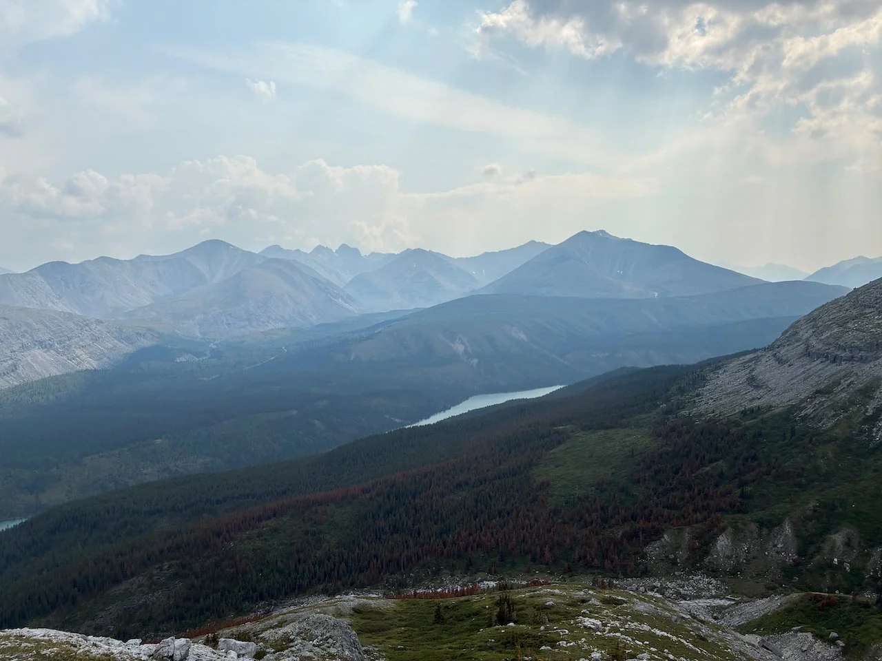
Stone Mountain Park – Summit Trail: This was the only day significantly impacted by wildfire smoke on the trip. The air was noticeably hazy and you could smell the smoke, which usually means the AQI was around 100. As a result, we only did a portion of this hike, but we got high up enough to get great views of Summit Lake and the surrounding peaks. On the way down we detoured off-trail into the valley below Mt St Paul hoping to find some wildlife but just enjoyed a pretty valley instead.
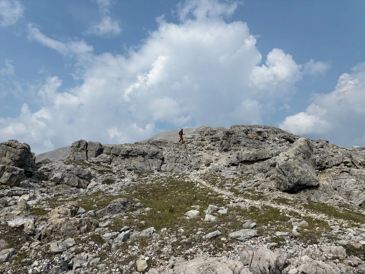
Stone Mountain Park – Flower Springs Lakes: We started this hike right from camp by following a dirt road that runs above Summit Lake to the trailhead a couple miles away. After visiting the Upper Flower Springs Lake we went off trail into the valley southwest of the lower lake where we got lucky and saw a group of 7 stone sheep. We sat atop a large boulder and watched them for about 20 minutes until they finally decided they’d had enough of us and headed up higher into the valley. Earlier in the day we saw two young caribou, the only caribou of the trip.
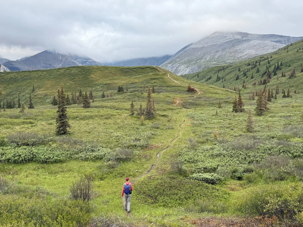
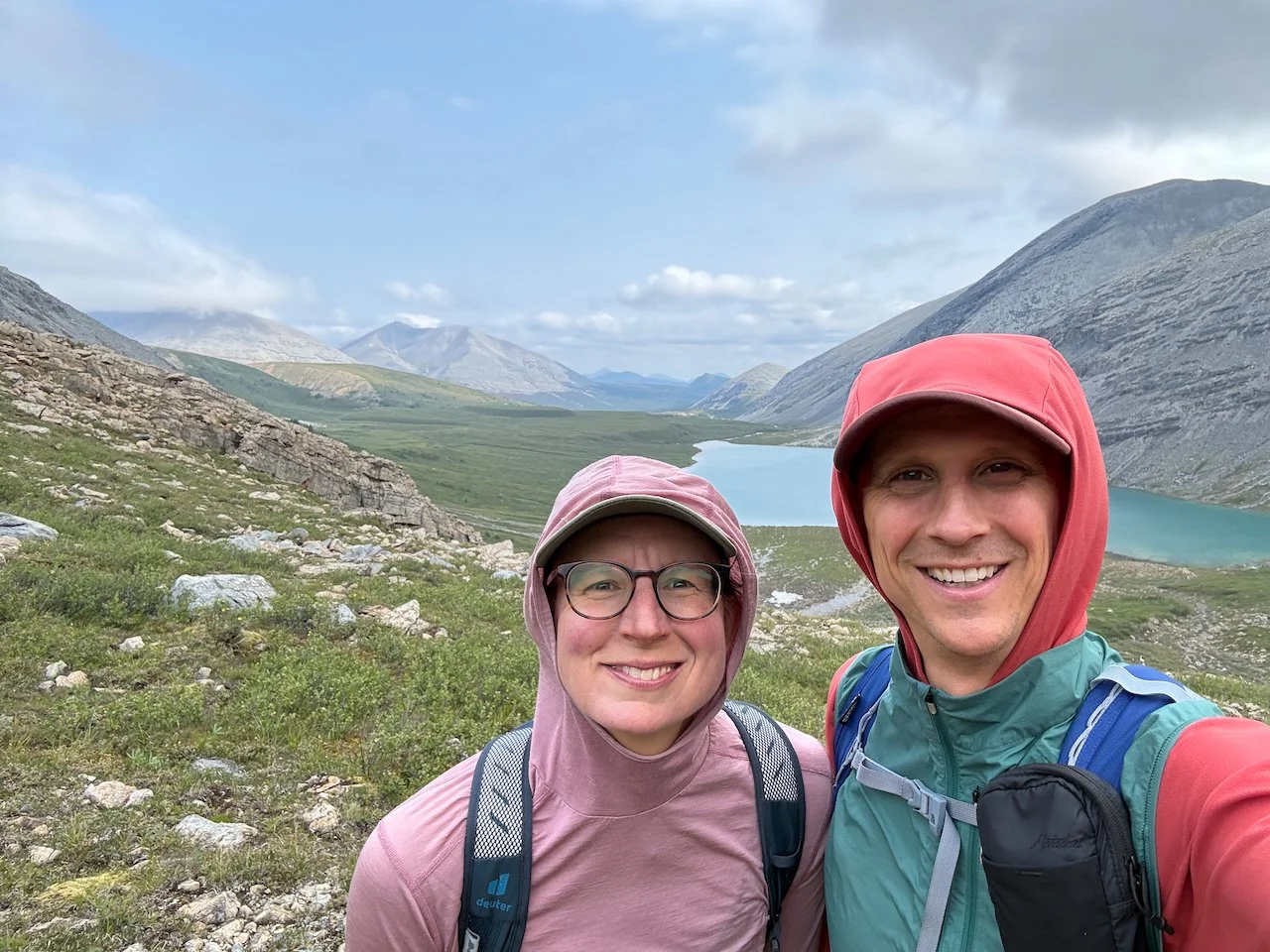
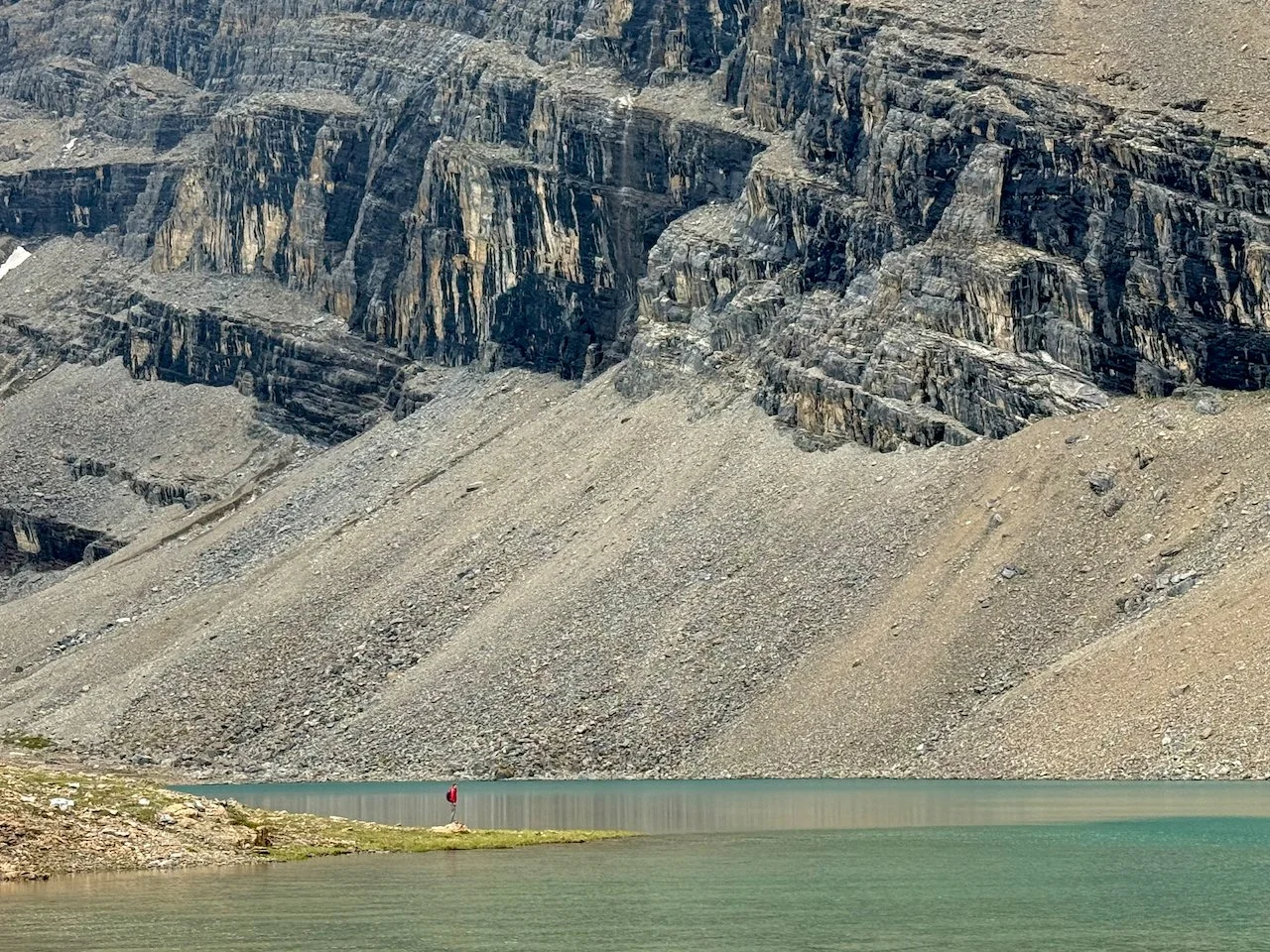
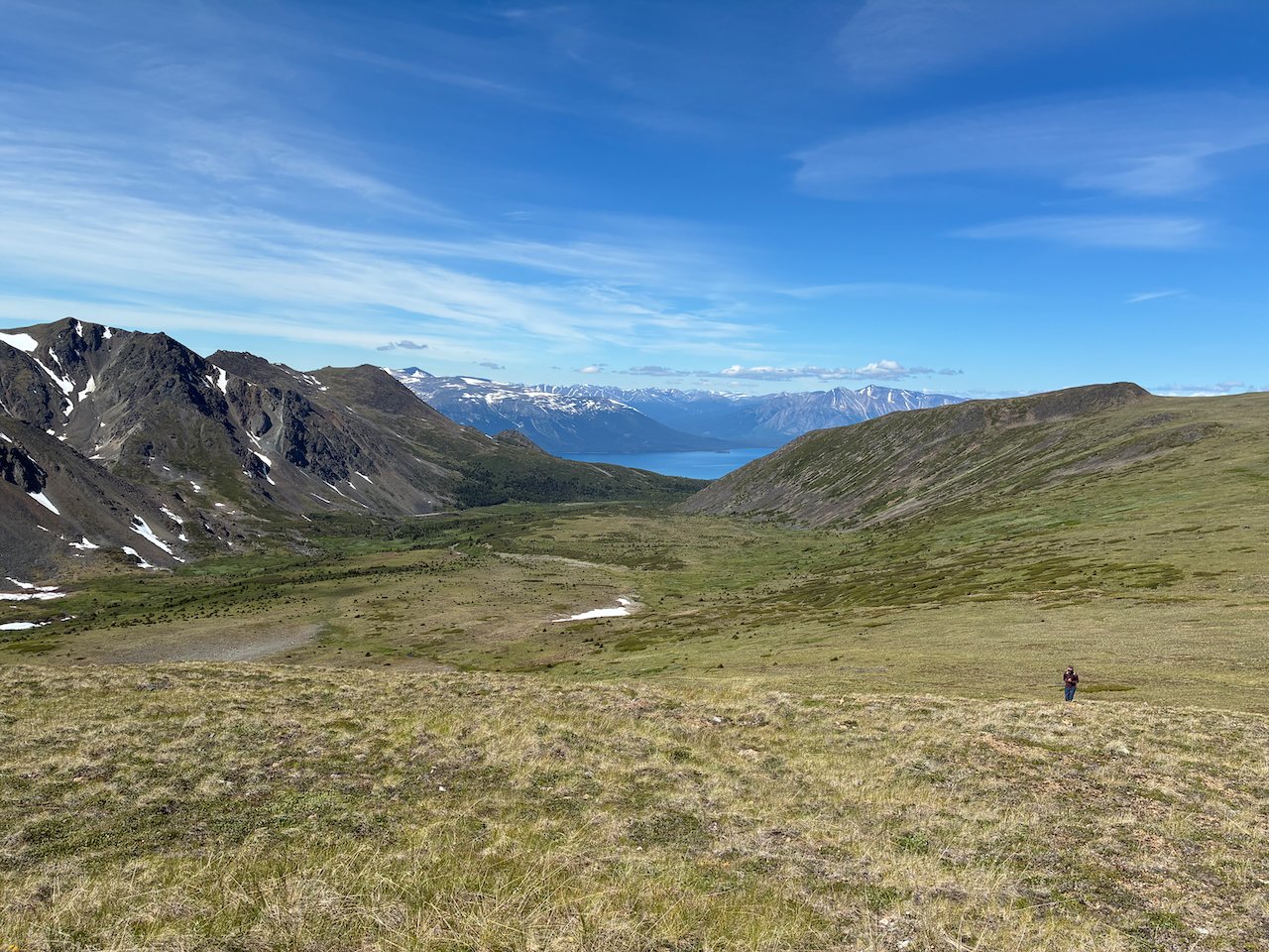
Atlin – Mount Sentinel: The trail begins by following McKee Creek, which has an active mine operating in the creek bed. Several pieces of heavy equipment (e.g. large backhoe) were throwing rocks around next to the first 2 miles of trail. After this inauspicious start, the trail improved dramatically when we reached the Eldorado Creek valley beneath Mount Sentinel – a beautiful alpine valley surrounded by Mount Sentinel and its impressive neighbors. We enjoyed an off-trail route up the northwest ridge of Mount Sentinel and some awesome views of the Coast mountain range and Atlin Lake. This trail was also the only time I seriously considered using bear spray. An aggressive dog that probably lived in an isolated house near the trailhead charged us on the way back down. He backed off after we yelled at him, but it was the only time I took the spray can out of my pack.